
Smart is the new sexy.
Status: planned pilot. Fieldwork has not yet taken place.
The problem
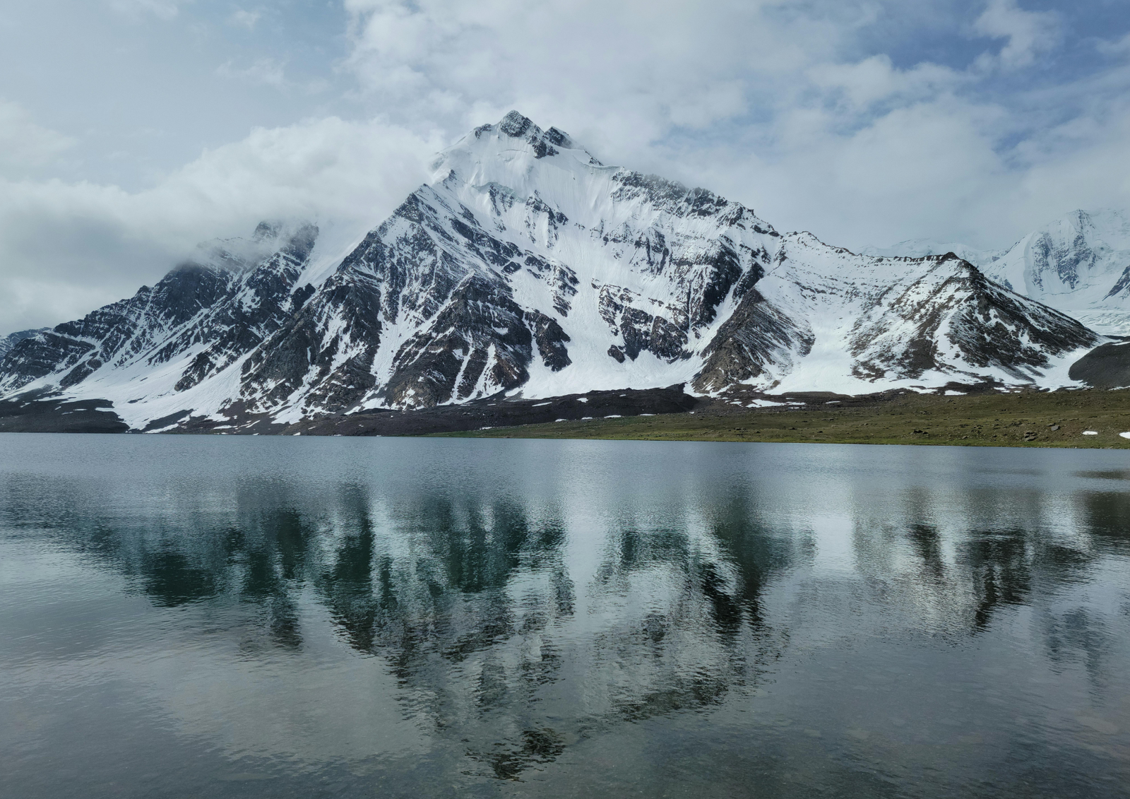
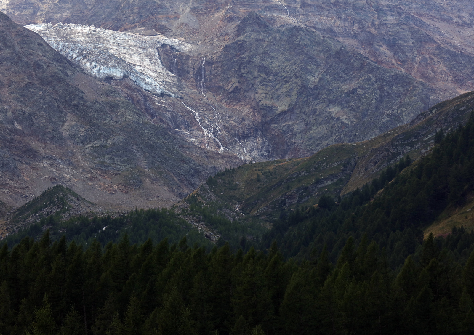
As glaciers retreat, meltwater lakes form and grow behind fragile ice and moraine walls. When one fails, a glacial lake outburst flood (GLOF) can reach villages with little warning. Many communities in the mountains of northern Pakistan live below lakes that nobody is measuring.
The pilot
MPCEN plans a one-day pilot at a glacier in Ghizer, in the Hindu Kush. A consumer drone, the DJI Mini 5 Pro, will fly a single grid-pattern survey. We will process it the same day into a map with OpenDroneMap and trace the lake boundary with the Segment Anything Model and QGIS, producing a GPS-accurate baseline of the lake area. We will also GPS-tag visible risk signs such as moraine cracks, seepage and undercut banks, and record one slow, dated aerial shot of the lake as a visual reference.
Why a low-cost drone
High-end survey equipment means permits, training and long delays. A consumer drone with free tools lets us start now and reach many glaciers with trekking groups and enthusiasts.
What comes next
One flight is a baseline, not a trend. Repeating the same flight each year turns it into a record of change that a community can act on.
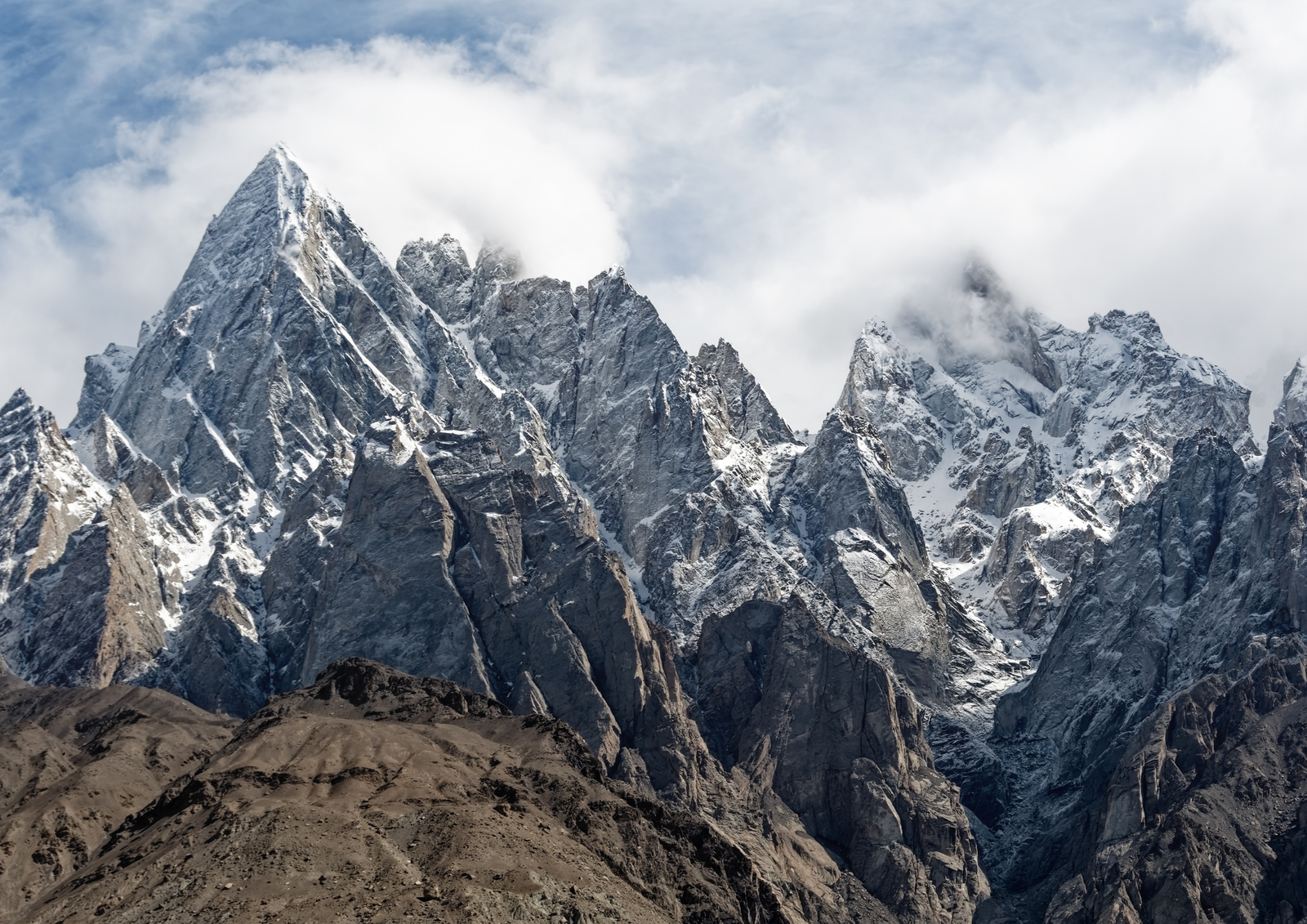
Images: mountain landscapes of northern Pakistan and the wider Hindu Kush, Karakoram and Himalaya region. Illustrative only.